Take a spin on the new shared pathway around Lake Albert
Published: 18 Mar 2022 3:26pm
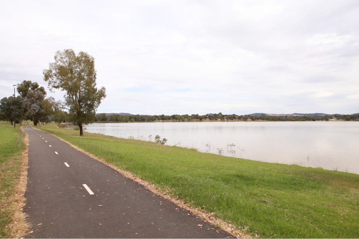
The Lake Albert link of Wagga Wagga City Council’s Active Travel Plan is now complete and already proving popular with locals and visitors.
The new shared pathway which circumnavigates Lake Albert is part of a 56-kilometre network that will link the outlying suburbs with the city centre and two End of Trip facilities.
Wagga Wagga City Council Project Manager Srivalli Miah said the pathway provides a sustainable transport option.
“The new path network encourages people away from cars and towards riding or walking,” Ms Miah said.
“Residents now have easier access to schools and the local shopping centre at Lake Village.
“Instead of children travelling to school on buses or in cars they can choose to ride or walk via the linked pathways on Nelson Drive, Ontario Drive and Plunkett Drive.”
The Lake Albert link is attracting people from all over the city and beyond, keen to take a walk, ride or run around the lake amidst the beautiful native flora and fauna.
Ms Miah said this kind of infrastructure promotes healthy lifestyles and provides important links between suburbs.
“Council has widened the existing path to 2.5 metres and constructed new paths to link off roads,” Ms Miah said.
“Line marking and the installation of signage is also complete.
“A new pedestrian refuge island on Main Street makes it safer for people crossing the busy road, especially those with prams and small children, or on mobility scooters.”
The Active Travel Plan project is jointly funded by the NSW Government and Wagga Wagga City Council.
Find out where the Active Travel Plan connects with your suburb.
