Potential flooding: keep yourself up-to-date
Published: 07 Oct 2022 12:01pm
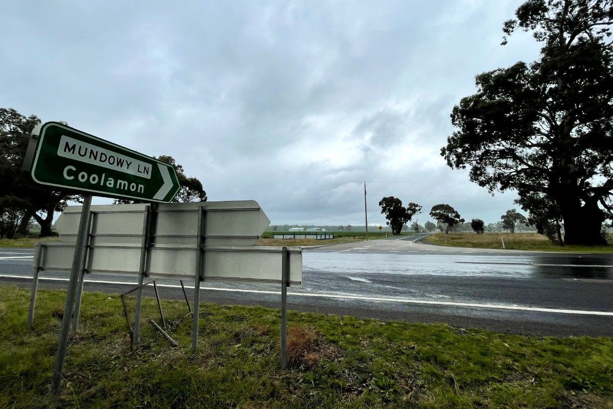
The rising river level in the Murrumbidgee and recent heavy rainfall has already resulted in a number of roads being closed in the Wagga Wagga Local Government Area.
Drivers are reminded to avoid flooded roads and obey road closure signs. To stay up-to-date about local road closures, visit wagga.nsw.gov.au/flooding
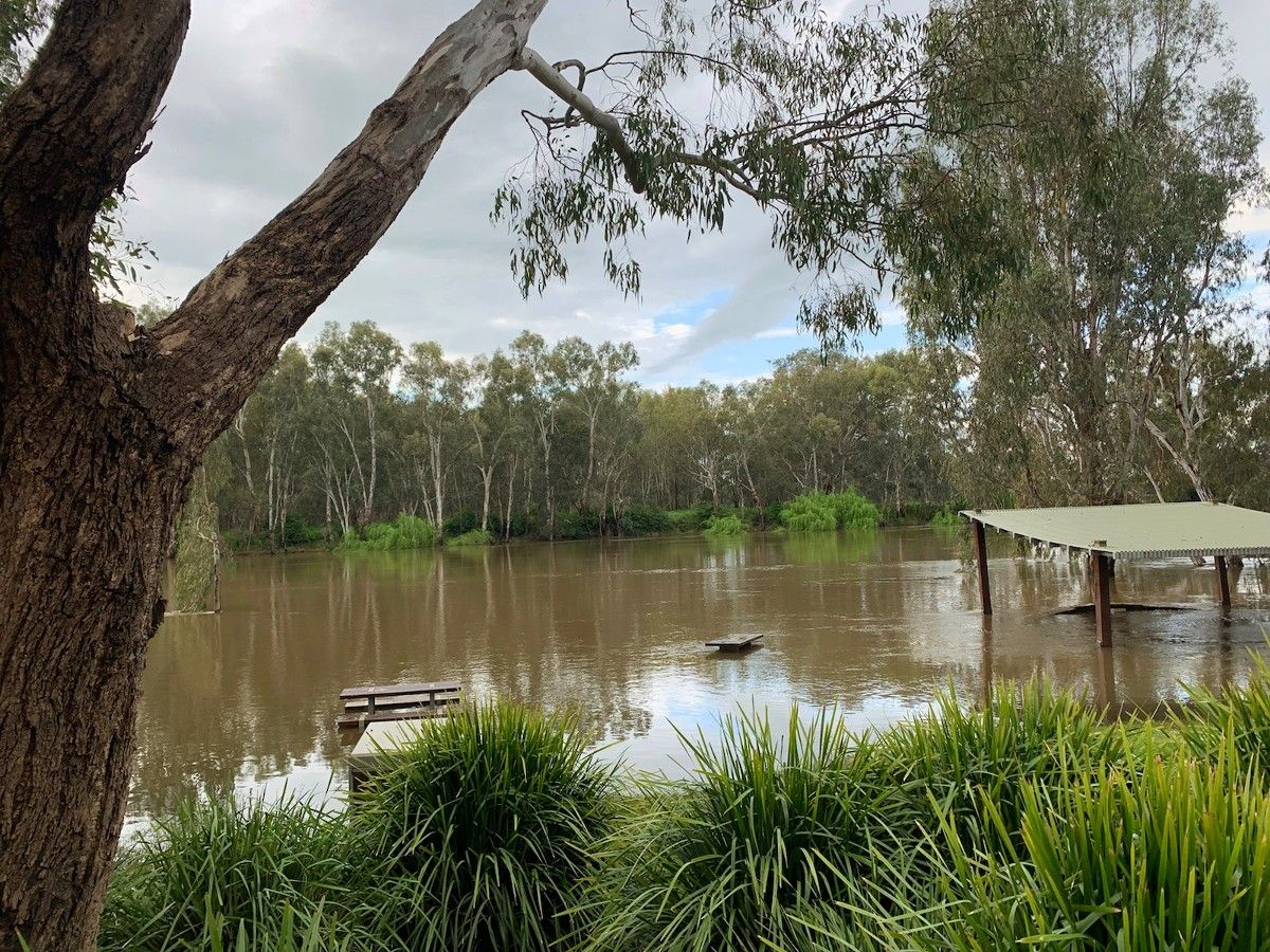
Earlier this week, Wagga Wagga City Council began preparing the Riverside precinct for possible inundation after the Bureau of Meteorology issued a Flood Watch for minor to moderate flooding of the Murrumbidgee River.
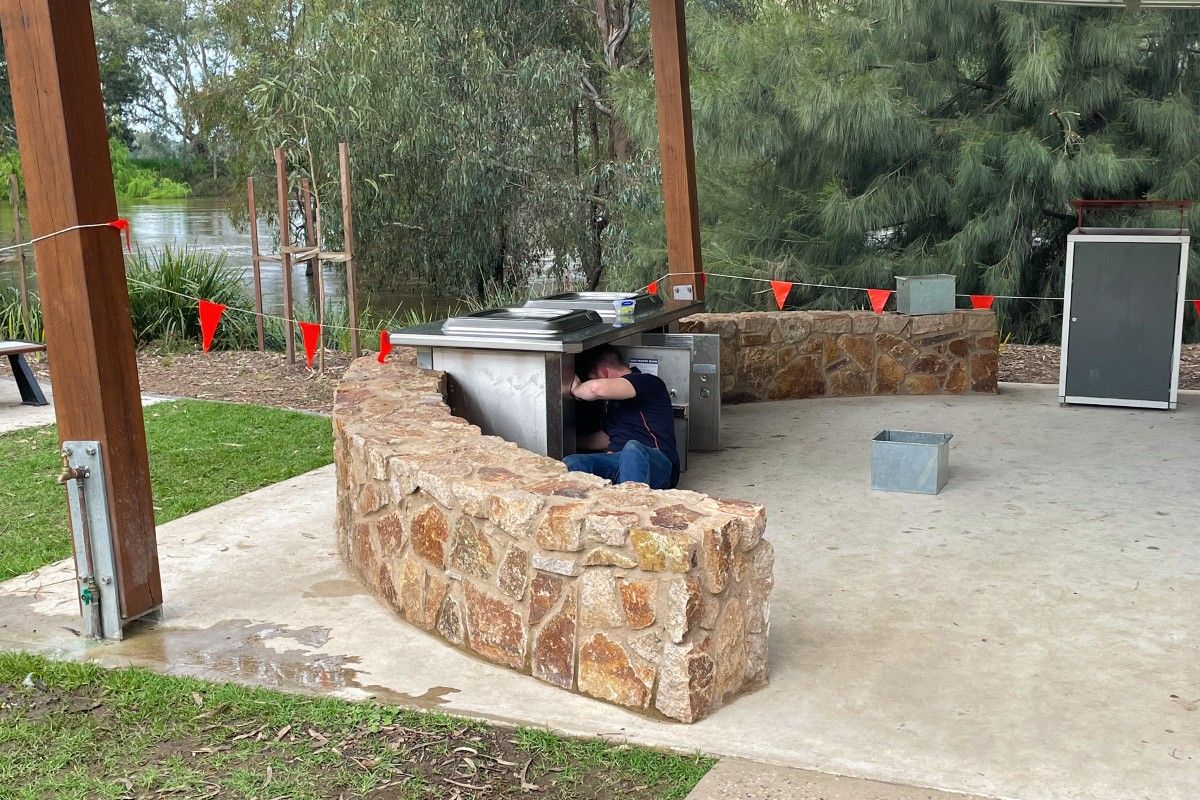
Council crews and contractors removed the Riverside barbecues and electrical infrastructure while the amenities block has been closed due to the power supply to the precinct being switched off.
The Riverside park’s infrastructure has been designed and built to withstand inundation by the river.
Council will continue to follow the directions of the NSW SES and monitor our infrastructure to ensure maximum safety and minimum disruption to our services.
For more emergency information, advice, and access to the latest river heights and rainfall observations and forecasts:
