Have your say on options to reduce flooding impacts in North Wagga
Published: 24 Jan 2024 11:27am
-- Survey closed 9 February 2024 --
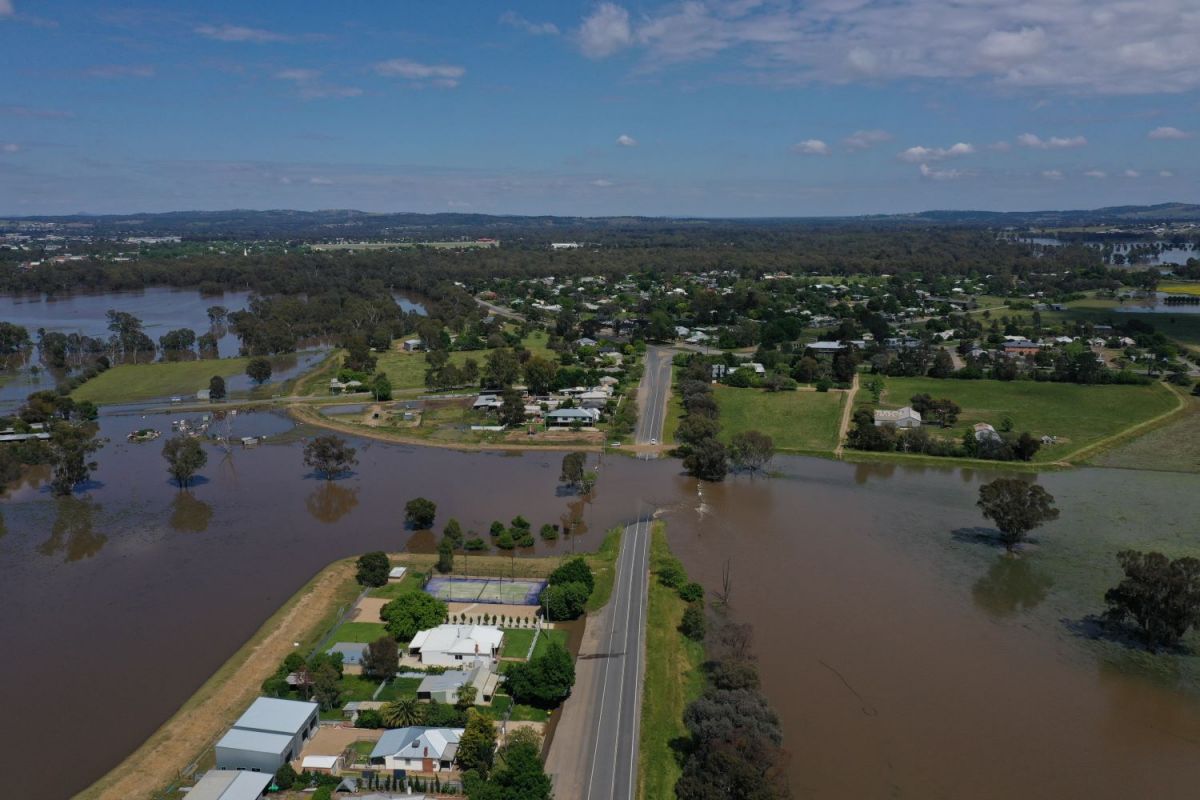
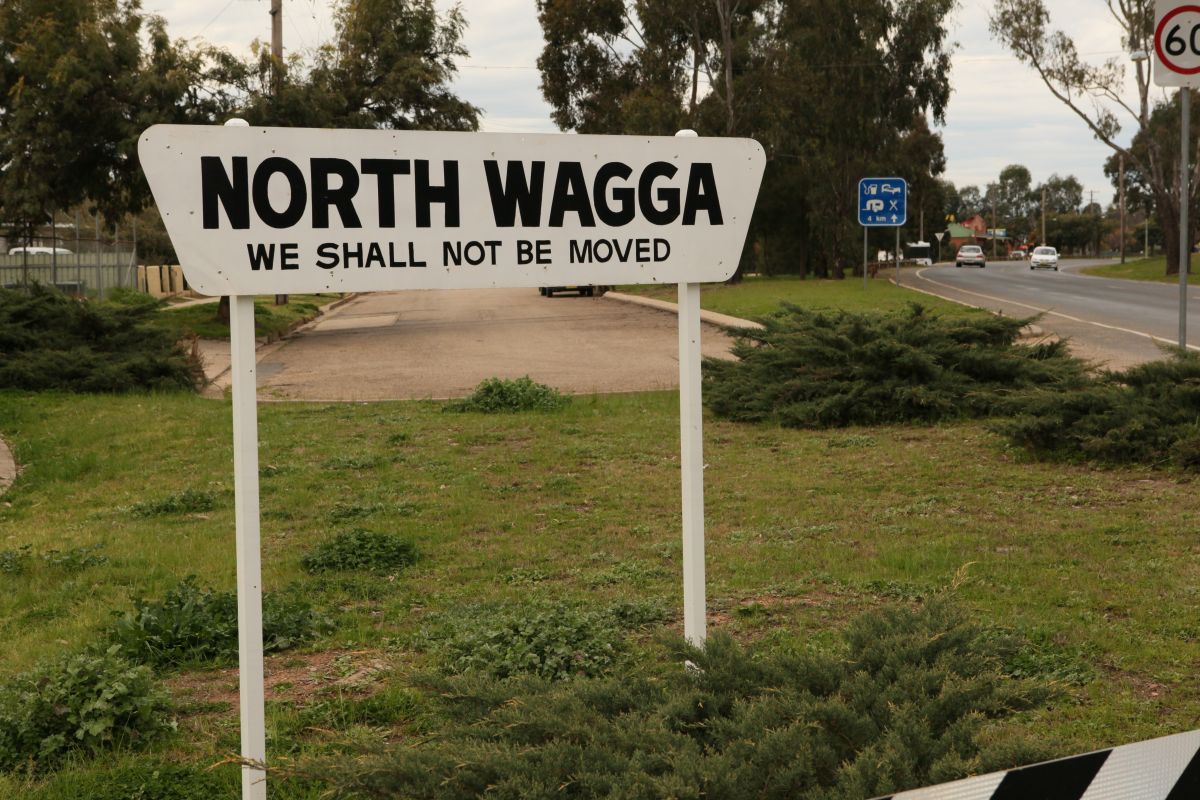
Wagga Wagga City Council and Woolcott Research and Engagement are looking into the management of the impact of flooding in North Wagga.
This project is part of the Feasibility Study for Flood Mitigation Options for North Wagga and Surrounding Floodplain Area.
Council is encouraging all residents within our local area to share their thoughts on mitigation options being considered before Friday 9 February.
Director Strategy and Projects Phil McMurray says this next stage of consultation will help determine the way forward for providing better flood protection to the North Wagga and floodplain communities.
“We have previously engaged in consultation with residents of North Wagga and have now reached the next stage of consultation which involves the wider local community,” Mr McMurray said.
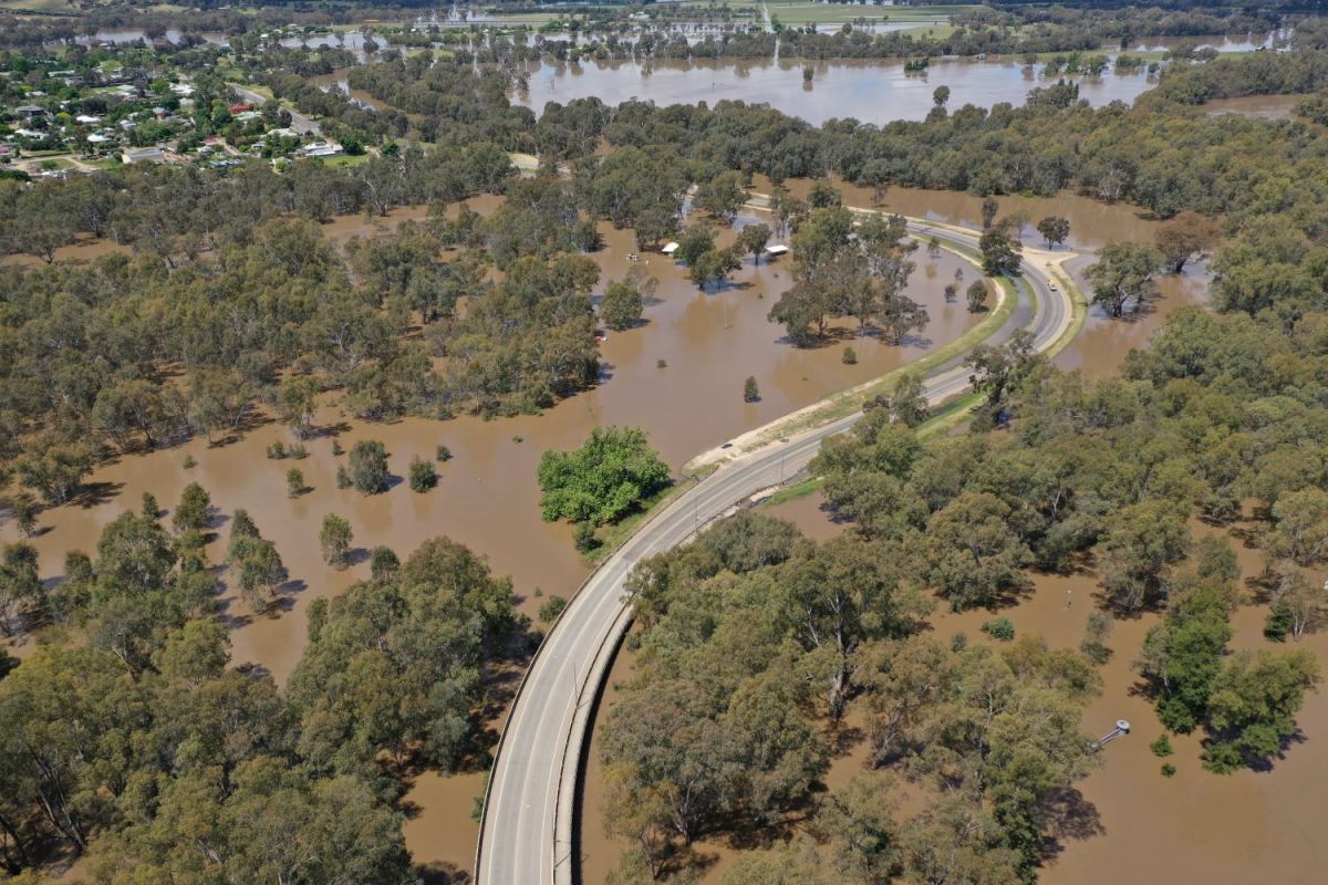
“Currently there is a flood levee that provides protection for North Wagga with an estimated 12% Annual Exceedance Probability (AEP) flood event, meaning that there is a 12% chance of a flood of that scale or higher occurring in any one year.
“However, residents of North Wagga are calling for a greater level of protection, which is why we are now assessing the feasibility of additional options.”
The consultation consists of an online survey and a telephone survey undertaken by Woolcott, and Council is asking local community to provide feedback on the three flood mitigation options being considered.
- The option for voluntary purchase and voluntary house raising for eligible properties on the floodplain.
- Upgrading the existing North Wagga levee and increasing road heights and bridges for safe evacuation.
- A combined, three-stage approach that includes options 1 and 2.
“Flood mitigation involves the use of methods or structures to reduce the impact of flooding on communities,” Mr McMurray said.
“The results of the current survey will inform the project of the community's preference for flood impact management solutions, and combined with other feasibility considerations, such as funding, we will determine the way forward.”
The chosen flood mitigation methods will be communicated to residents by Council once they are determined.
The survey closed on 9 February.
